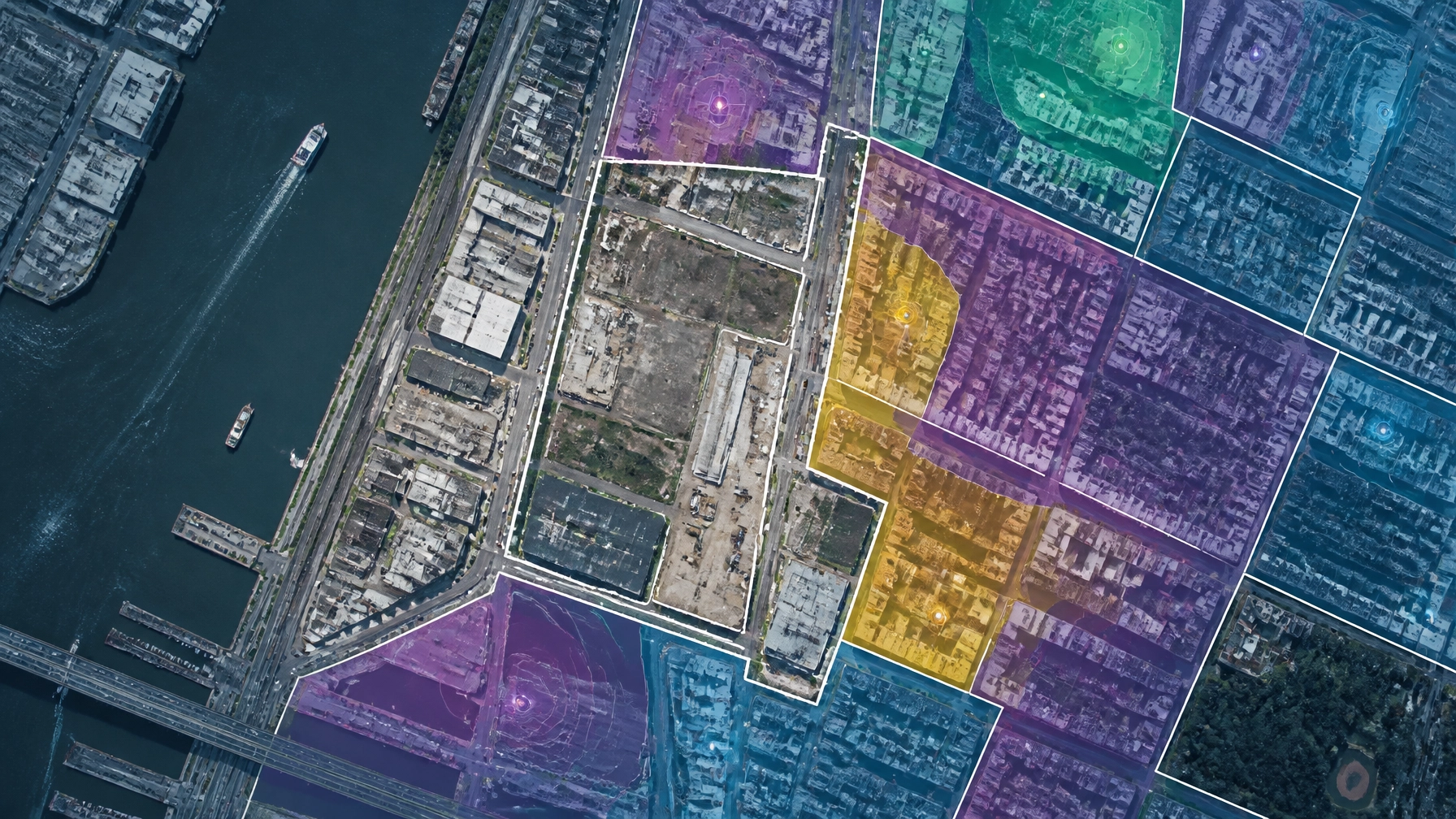
If you are a developer in New York, your "to-do" list just got a lot more complicated. For years, environmental justice was often treated as a peripheral concern: a checkbox on a long list of regulatory requirements. That era is officially over.
With the implementation of the Climate Leadership and Community Protection Act (CLCPA) and the Environmental Justice Siting Law, the New York State Department of Environmental Conservation (DEC) has fundamentally changed how projects are screened. Specifically, the updated Environmental Assessment Forms (EAFs) now mandate a deep dive into how your project impacts "Disadvantaged Communities" (DACs).
Missing this during initial due diligence isn't just a paperwork error; it’s a project killer. It leads to the "EIS Trap": where a project that should have been a simple Negative Declaration gets sucked into a multi-year Environmental Impact Statement (EIS) process.
At Envicon Group, we don’t just write reports; we clear paths. Here is what you need to know about the new DAC mapping requirements and how to keep your project moving.
The Regulatory Shift: Why the Map Matters Now
The New York DEC has amended its State Environmental Quality Review Act (SEQRA) regulations to ensure that no community bears a disproportionate share of pollution. The mandate is clear: agencies must evaluate whether a proposed action imposes or exacerbates disproportionate burdens on DACs.
To make this happen, the DEC updated both the Short EAF and Full EAF. These forms now include specific triggers that require you to identify if your site is within or near a designated Disadvantaged Community.
"Integrity is not just ethical behavior: it is about delivering the truth and never cutting corners." : This is the lens through which regulators are now viewing SEQRA submittals. If you gloss over the DAC analysis, you are inviting a delay that could last years.
What Defines a "Disadvantaged Community"?
The Climate Justice Working Group (CJWG) finalized the criteria for DACs in early 2023. These aren't just arbitrary lines on a map. They are based on 45 different indicators, including environmental burdens (like proximity to waste sites) and population vulnerabilities (like health and income levels).

The Toolkit: Navigating DACAT and the NYSERDA Maps
You can’t guess where these communities are. You need to use the specific tools the state has authorized. If your consultant is still relying on old maps, your Phase I Environmental Site Assessment is already out of date.
- NYSERDA DAC Interactive Map: This is your primary source for checking an address. It allows you to enter a project location and instantly see if it falls within a DAC census tract.
- DECinfo Locator: This GIS tool includes layers for both DACs and Potential Environmental Justice Areas (PEJAs). It’s essential for visualizing the project’s footprint relative to these boundaries.
- DACAT (Disadvantaged Community Assessment Tool): This is the DEC’s screening tool. It helps lead agencies (and developers) assess "disproportionality."
Using these tools correctly is the difference between a project that gets approved and one that sits in a reviewer's queue for six months. At Envicon, we integrate these GIS analyses into our digital solutions and initial site screenings from day one.
The "Big Firm" Risk: Why Junior Staff Can't Solve This
When you hire a large national firm, they often apply a cookie-cutter playbook designed for any market to your NYC or NJ project. They might hand you a report that lists the DAC status but doesn't explain what it means for your project timeline.
At a national firm, regulatory coordination is a black box. You don’t know who’s talking to your reviewer at the NYC OER or NYSDEC.
Envicon is different. We are field-first and regulator-facing. We don't just hand you a report; we sit at the table with the agencies. We know the reviewers by name, and we understand how they interpret the DACAT outputs. While big firms write defensive, bloated reports to protect themselves, we produce clean documentation that holds up under scrutiny and actually gets you to the next step.

Avoiding the SEQRA Delay: Screening During Due Diligence
The biggest mistake developers make is waiting until the EAF is drafted to look at the DAC map. By then, you’ve already committed to a design, a budget, and a closing date.
If the DACAT screening shows a potential disproportionate burden, the lead agency may determine that the project has a significant environmental impact. This triggers a "Positive Declaration," requiring a full Environmental Impact Statement.
An EIS can add 18 to 24 months to your schedule and hundreds of thousands of dollars to your budget.
By screening for these communities during the site development and due diligence phase, you can:
- Modify the Site Plan: Adjust grading, drainage, or utility design to mitigate impacts before they become "significant."
- Proactive Community Engagement: Start conversations with the community early, rather than being forced into a defensive posture later.
- Accurate Cost Estimation: If remediation or mitigation is required to meet EJ standards, you need to know those costs before you close on the property. Use our Cost Estimator Tool to get ahead of these variables.
Action Steps for New York Developers
If you are looking at a new acquisition or moving into the permitting phase of an existing project, here is your playbook:
- Confirm DAC Status Immediately: Don’t wait. Check the NYSERDA DAC map today.
- Run the DACAT Screening: Have your engineer run the Disadvantaged Community Assessment Tool to see how your project "scores" on pollution burden indicators.
- Review Your EAF Drafts: Ensure Part 1 of your Full EAF accurately reflects the DAC data. Inaccuracies here are the #1 cause of compliance delays.
- Leverage Local Expertise: Work with a firm that has 20 years of direct agency relationships in NY and NJ. We understand the regional fluency required to navigate OER, NYSDEC, and NJDEP.

The Envicon Resolution
We take ownership at every phase. Whether it's securing permits, coordinating subcontractors, or resolving field challenges, we take full responsibility for outcomes. We believe in doing the work right, standing behind our word, and keeping projects moving.
Every week of delay incurs carrying costs and tests lender patience. Don't let an updated map stall your project. Let us provide the "cleared path" you need to transform an underutilized site into a buildable asset.

Summary & Takeaways
- Regulatory Change: NY EAFs now require mandatory screening for impacts on Disadvantaged Communities (DACs).
- The Goal: Prevent disproportionate pollution burdens in vulnerable areas as mandated by the CLCPA.
- The Risk: Failing to address DAC mapping early can trigger a mandatory and costly Environmental Impact Statement (EIS).
- The Tools: Developers must use the NYSERDA DAC map, DECinfo Locator, and the DACAT screening tool.
- The Strategy: Integrate EJ screening into the earliest stages of due diligence to avoid delays and unforeseen costs.
Move Your Project Forward
Don't let regulatory hurdles stand between you and a buildable site. Our team is ready to help you navigate the new DAC mapping requirements with precision and urgency.
- Book a free consultation: https://envicongroup.com/contact
- Call now: (917) 764-2171
- Cost estimator tool: https://envicongroup.com/cost-estimator
Leave a Reply