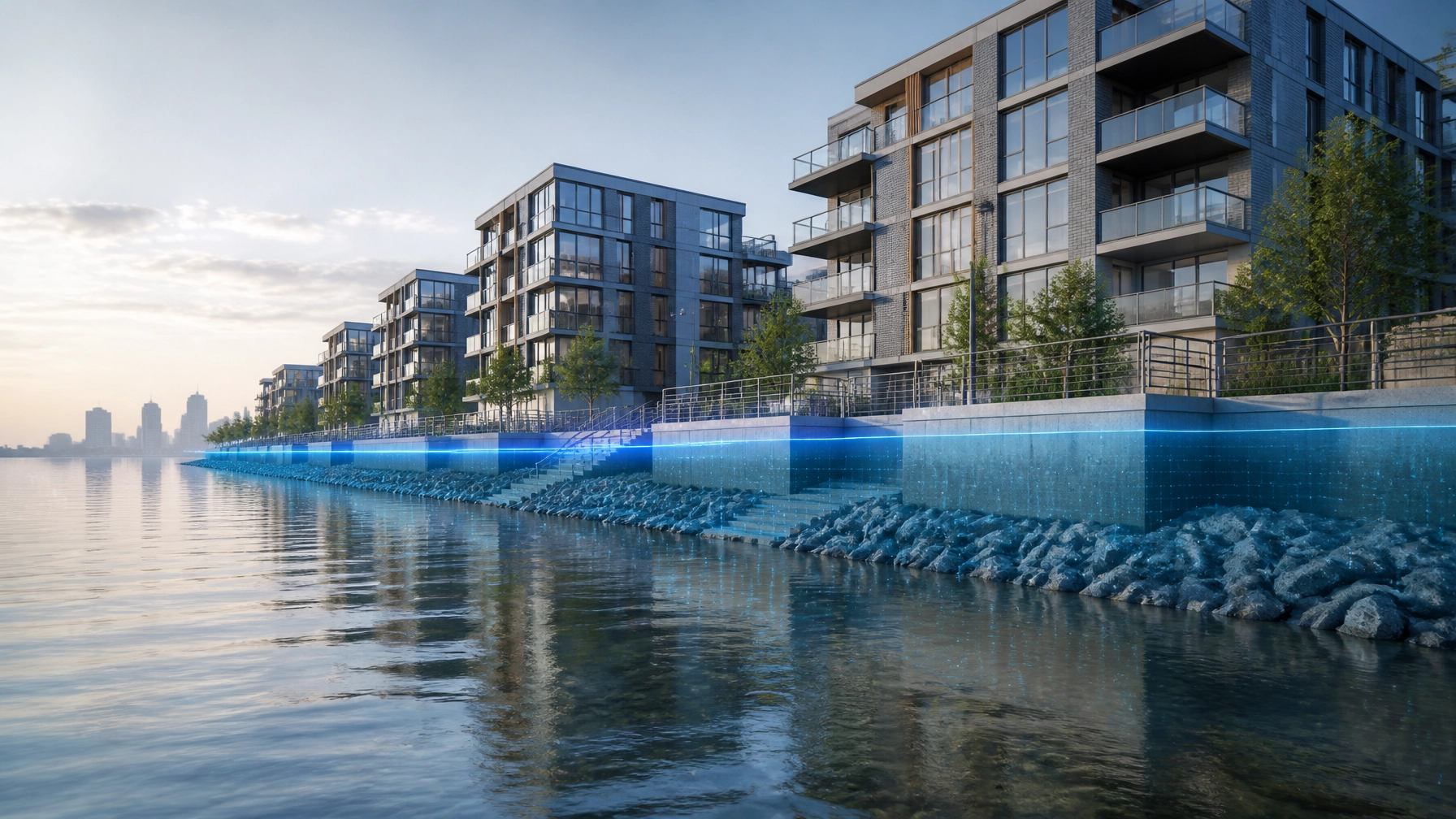
The rules for building in New Jersey just changed, and if you’re reading this on June 22, 2026, you have exactly 28 days to decide how you’re going to handle it.
On January 20, 2026, the NJDEP officially adopted the Resilient Environments and Landscapes (REAL) rules. This wasn't just another regulatory tweak; it was a fundamental shift in how tidal flood hazard areas are defined and managed. For developers, investors, and attorneys, the primary headlines are the Climate-Adjusted Flood Elevation (CAFE) and the Inundation Risk Zone (IRZ).
At Envicon, we don’t sell bloated reports that sit on your desk. We sell cleared paths. Right now, that path is narrowing for anyone who hasn't secured their "legacy" status. Here is what you need to know about the new NJ flood elevations and why the current "one-year delay" is more of a countdown than a reprieve.
The New Math: CAFE vs. FEMA BFE
For years, the gold standard for flood elevation was the FEMA Base Flood Elevation (BFE). If FEMA said the 100-year flood was 10 feet, you built to that plus a little freeboard.
Under the NJPACT REAL rules, that math is obsolete for tidal areas. The state has introduced the Climate-Adjusted Flood Elevation (CAFE), which is set at FEMA BFE + 4 feet.

This 4-foot jump is designed to account for sea-level rise projections through the year 2100. If your site has a BFE of 10 feet, your new design flood elevation for NJDEP permitting is 14 feet. This isn't a suggestion; it's a requirement for site engineering and habitable floor heights.
Why this matters now:
- Design Impact: Foundations, mechanical systems, and access points all have to move up. This changes your floor-area ratio (FAR) and your construction costs.
- Financing Gap: Lenders are already looking at these rules. A project designed to old standards that doesn't meet CAFE might be viewed as a "stranded asset" before the first shovel hits the dirt.
- Regulatory Friction: If your project isn't elevated to CAFE, you aren't getting an NJDEP permit: period: unless you fall under the legacy protections.
Defining the Inundation Risk Zone (IRZ)
Beyond the vertical elevation (CAFE), the NJDEP has introduced a horizontal boundary: the Inundation Risk Zone (IRZ). This zone identifies land that is currently above the mean high water line but is projected to be permanently inundated by the year 2100.
Technically, the IRZ includes all land within five feet vertically of the current Mean Higher High Water (MHHW) elevation.

Contrary to some of the early panic in the industry, the IRZ is not a no-build zone. However, it is a "build-with-scrutiny" zone. If your project falls within the IRZ: especially residential developments or critical infrastructure: you are now required to submit:
- A Sea-Level Rise Impact Assessment: How will your site function when the surrounding streets are tidally flooded?
- An Alternatives Analysis: You must prove that you've tried to minimize the risk or that there is no feasible alternative to building in that zone.
- Risk Acknowledgement: Formal documentation that you recognize the long-term risk of the site becoming permanent water.
The July 20th Deadline: The Legacy Window is Closing
There has been a lot of talk about "delays" in the implementation of NJPACT. Let’s be direct: the delay is over. The rules are adopted.
The only "delay" that matters right now is the 180-day legacy window. Projects that submit an administratively and technically complete application to the NJDEP by July 20, 2026, can still be reviewed under the old standards.
If you miss that deadline by a single day, or if your application is deemed incomplete, you are subject to CAFE and IRZ requirements.
"Waiting for the next regulatory delay is not a business strategy; it's a liability. The projects that move forward are the ones that treat these deadlines as hard stops." : Jason Pancoast, CEO of Envicon Group.
The Envicon Edge: Moving Beyond the "Black Box"
When you hire a national firm to handle your NJDEP permitting, your project often disappears into a black box. You don't know which junior staffer is writing your report or which reviewer they are (or aren't) talking to.
Envicon works differently. We are a family-owned, PE-led firm that has spent 20 years building direct relationships with the NJDEP and local regulators. We don't just hand you a report and leave you to figure it out. We sit at the table with the reviewers to find the alignment that actually gets your project approved.

Our proprietary project management infrastructure gives you real-time visibility. You’ll know exactly where your application stands as we race toward that July 20th deadline. We provide the technical precision of a large firm with the urgency and accountability of a partner who is on your site at 7:00 AM.
Summary: Your 30-Day Action Plan
The Inundation Risk Zone and Climate-Adjusted Flood Elevations are the new reality for New Jersey development. To keep your project on track, you need to act before the July 20th cutoff:
- Confirm your Zone: Check if your site falls within the IRZ using the latest NJDEP mapping.
- Audit your Elevations: Does your current design meet the BFE + 4ft standard? If not, do you have a plan to file for legacy status in the next three weeks?
- Secure your Team: Ensure your consultants are not just aware of the rules, but are actively coordinating with the NJDEP to ensure your application is "technically complete" before the window shuts.
We don't sell reports. We sell cleared paths. If your project is facing a regulatory hurdle, contact us today to ensure you aren't left underwater, literally or figuratively.
Take the Next Step
- Check your property risk: https://envicongroup.com/risk-screener?utm_source=website&utm_medium=nav_megamenu&utm_campaign=resources&utm_content=risk-screener
- Visit our website: https://envicongroup.com
- Book a free consultation: https://envicongroup.com/contact
Envicon Strategic Solutions logo – MAIN
Leave a Reply