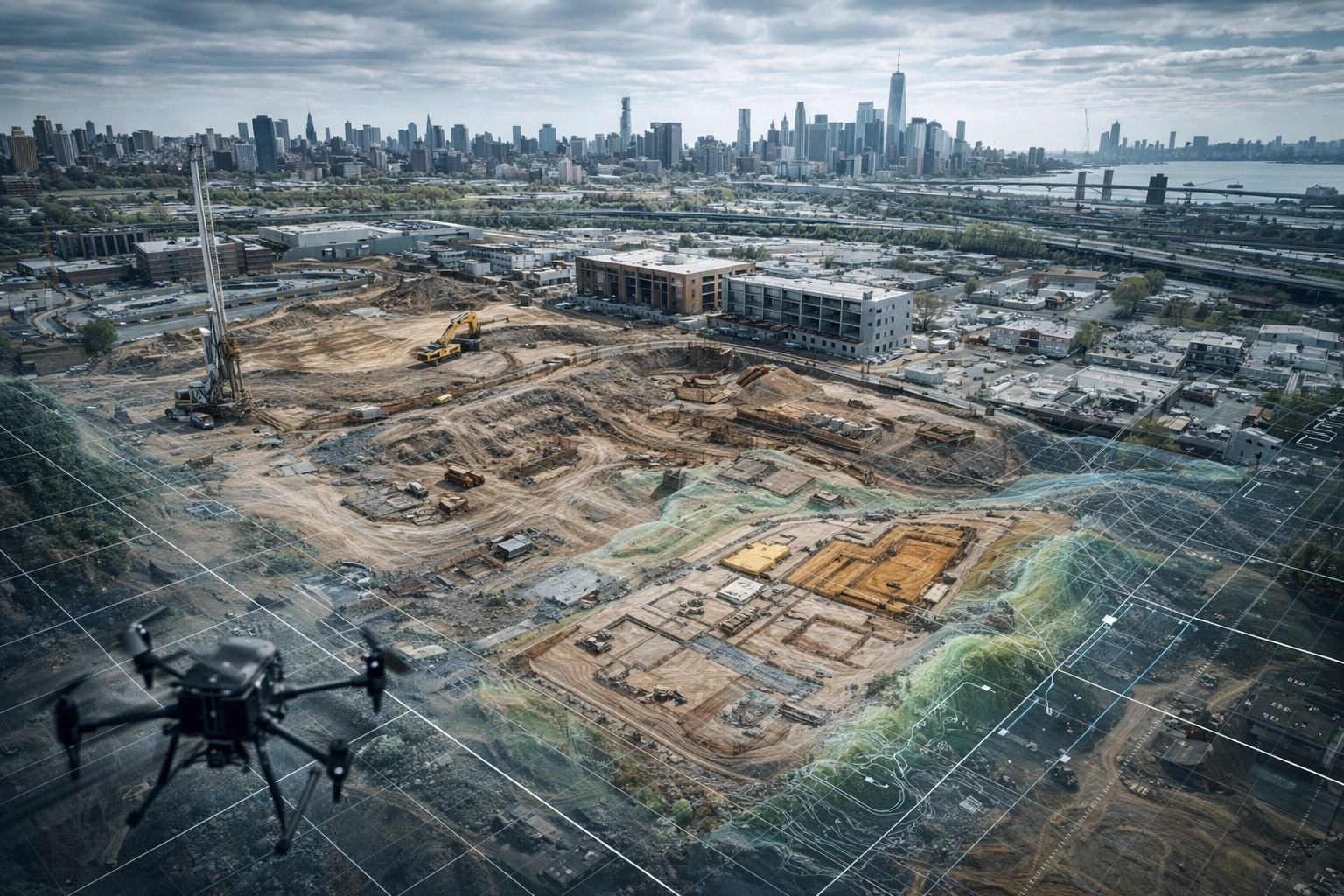
In the high-stakes world of New York and New Jersey real estate development, the distance between an "underutilized property" and a "buildable site" is often measured in months of regulatory hurdles, unforeseen site conditions, and engineering bottlenecks. For years, the industry relied on static 2D surveys and manual site inspections: processes that were inherently slow and prone to human error.
At Envicon Group, we believe that if you can’t see the path forward, you can’t build it. That’s why we’ve integrated advanced drone mapping and high-resolution 3D site modeling into our core site investigation NYC workflows. We aren't just taking pictures from the sky; we are capturing the digital DNA of your project to resolve complex engineering challenges before they ever stall your schedule.
The New Standard of Site Intelligence
When you’re dealing with brownfield redevelopment in places like Brooklyn, Newark, or the Hudson Waterfront, "close enough" isn't an option. Traditional ground-based surveys can take days or weeks to complete, and by the time the data reaches your desk, the site conditions may have already shifted.
Drone mapping changes the physics of project planning. Using RTK (Real-Time Kinematic) enabled drones, we achieve centimeter-level precision. A 100-acre site that would have taken a traditional survey crew a week to document can now be scanned in under an hour. This isn’t just about speed; it’s about the density of data. Instead of a few hundred survey points, we collect millions.

From Raw Data to Actionable 3D Mesh
The magic happens in the processing. We transform raw aerial imagery into a suite of high-resolution deliverables that serve as the single source of truth for architects, engineers, and contractors:
- Orthomosaic Site Maps: These are geometrically corrected 2D images where every pixel is a measurable coordinate. You can measure distances and areas directly on the map with the same accuracy as a traditional survey.
- 3D Textured Meshes: This is a literal "digital twin" of your site. You can rotate it, zoom in on structural cracks, or evaluate the integrity of an adjacent building’s foundation.
- LiDAR Topographic Data: Essential for sites with heavy vegetation or debris, LiDAR "sees through" the noise to map the actual ground surface, providing precise elevation data for complex grading.
- Point Clouds: Massive sets of data points used for direct integration into BIM (Building Information Modeling) and CAD software, ensuring your design fits the reality of the terrain.
Visualizing the Path Through Complex Engineering
Most consultants hand you a 200-page report and expect you to find the solution. At Envicon, we use 3D modeling to highlight the obstacles and then design the way around them.
Consider the challenges of a typical urban infill project. You might be dealing with old railway infrastructure, unknown underground storage tanks (USTs), or radical elevation changes that complicate stormwater management. By visualizing these elements in a high-res 3D environment, we can perform cut/fill analyses with extreme accuracy. We can identify exactly how much soil needs to be moved or remediated, which directly impacts your budget and your timeline with the NYSDEC or NJDEP.
Clearing the Obstacles: A Visionary Approach to Brownfields
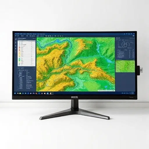
Brownfield redevelopment is arguably the most complex form of construction. You are often fighting decades of industrial neglect. In NYC, the Office of Environmental Remediation (OER) and the DEC require rigorous documentation of site conditions.
Our drone-captured data provides a "visual ledger" of a site’s transformation. We can overlay historical maps onto current high-res orthomosaics to pinpoint exactly where old structures: and potential contamination: might lie. This precision allows us to target our Phase II investigations more effectively, saving you money on unnecessary soil borings and lab fees.
We don't just see a contaminated lot; we see a cleared path to a luxury high-rise, a modern warehouse, or a community park. The 3D model is the tool that allows us to communicate that vision to lenders, regulators, and stakeholders.
Real-Time Coordination vs. The "Big Box" Delay
If you’ve worked with national "big box" consulting firms, you know the pain. You talk to a senior partner during the pitch, and then your project is handed off to a junior staffer in a regional office three states away. When a field issue arises, you’re stuck waiting for a return call while your carry costs mount.
Envicon is different. We are family-owned, PE-led, and field-first. When we deploy drone mapping on your site, that data is processed and shared through our resources portal immediately.

Our internal teams use these models to coordinate directly with your architects and construction managers. If there is a deviation between the design plan and the actual field conditions: like a misplaced utility line or a grading error: we spot it in the digital model before it becomes a multi-million dollar change order.
Why Precision Matters for Your Bottom Line
Every week your project sits in a regulatory queue or waits for a survey is a week of lost revenue. Our approach to site modeling is built on three pillars:
- Certainty: We remove the "unknown unknowns." Whether it’s volume calculations for soil disposal or the exact placement of a crane, we give you the numbers you can bank on.
- Compliance: Our high-res documentation is designed to hold up under the scrutiny of agencies like the NYC OER and NJ DEP. We speak their language and provide the visual evidence they need to grant approvals.
- Communication: A 3D model is a universal language. It allows us to show a lender exactly how we are resolving a site challenge, turning a technical "problem" into a manageable "process."
Integrating Technology into the Construction Phase
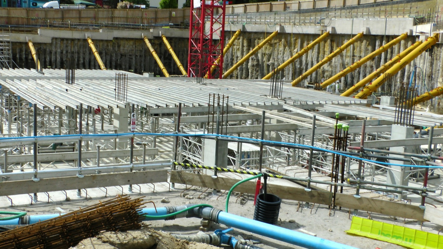
The value of high-res modeling doesn't end once the permits are issued. During the construction phase, we use periodic drone flights to monitor progress and maintain site safety.
We can track excavation volumes in real-time, ensuring that soil management plans are being followed to the letter. We can monitor erosion control measures (SWPPP compliance) and provide visual updates to stakeholders who may not be able to visit the site in person. This level of transparency builds trust with everyone from the site foreman to the equity partners.
The Envicon Difference: From Findings to Action
Technology is only as good as the experts who interpret it. While other firms might offer "drone services" as a flashy add-on, we treat it as an essential engineering tool. We don’t just deliver a point cloud; we deliver a buildable site.
We understand that in the NY/NJ market, your reputation is built on your ability to deliver. Our mission is to resolve your complex environmental and engineering challenges with the precision and urgency that your project deserves. We are your "boots on the ground": and your "eyes in the sky."
Summary & Takeaways
Visualizing your path to a buildable site requires more than just a map; it requires a comprehensive digital strategy.
- Accuracy is Paramount: RTK drones provide centimeter-level data that beats traditional surveys in both speed and detail.
- 3D Meshes Save Money: Spotting design-to-field deviations early prevents costly change orders during construction.
- Brownfield Mastery: Using high-res imagery to navigate site investigation NYC protocols ensures faster regulatory approval.
- Envicon Expertise: We combine 20 years of local agency experience with cutting-edge tech to clear the obstacles standing in your way.
If your current consultant is handing you reports that raise more questions than they answer, it’s time for a change. Let’s look at your site from a new perspective.
Ready to see your site in high resolution? Contact Envicon Group today to learn how our drone mapping and 3D modeling can accelerate your project.

Leave a Reply